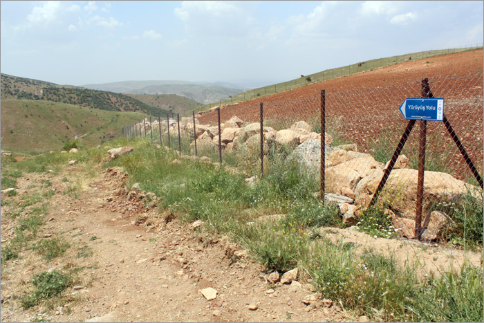
GÖKÇEBAĞ HIKING TRAIL
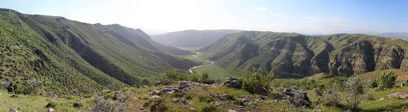
The road that starts from the orchards west of Gökçebağ is 9 km long. The altitude at the start is 925 meters. The trail very distinct and suitable for hiking. Going along a sparsely wooded forest, the trail ends with a spectacular view of one of the Botan Valley's branches. The altitude at this point is 850 meters. No water source is found on this route which is categorized as "Basic".
The mobile phone coverage of Turkcell, Vodaphone and Avea are weak especially at the beginning of the route. Nevertheless the coverage is fine at the end of the road.
Please click here to see the route that goes from Siirt downtown to the beginning of Gökçebağ Hiking Trail.
Details of the route
The route goes down to the valley after starting from the orchards in the west of Gökçebağ settelement.
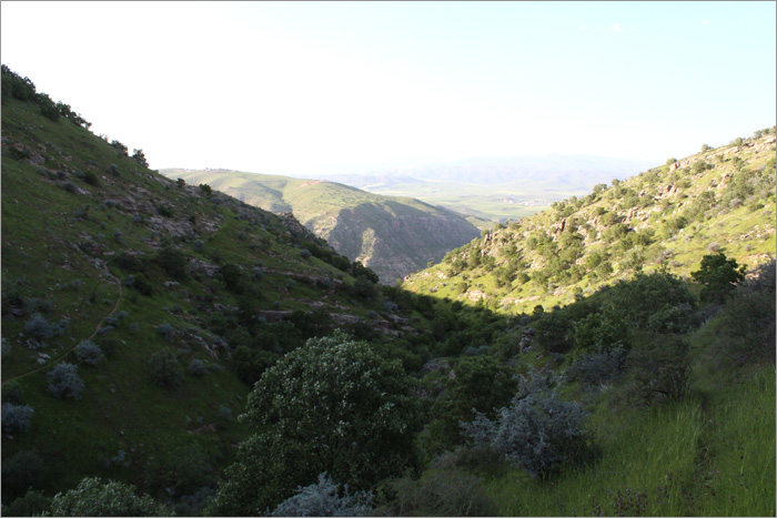
Going along the west side of the valley, the route is highly forested compared to the other trails in the Botan Valley.
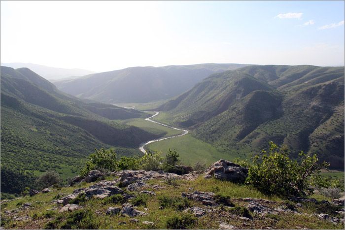
The route ends with a nice view of Botan Valley's branch.
