TAŞBALTA-ERENLER MOUNTAIN BIKING TRAIL
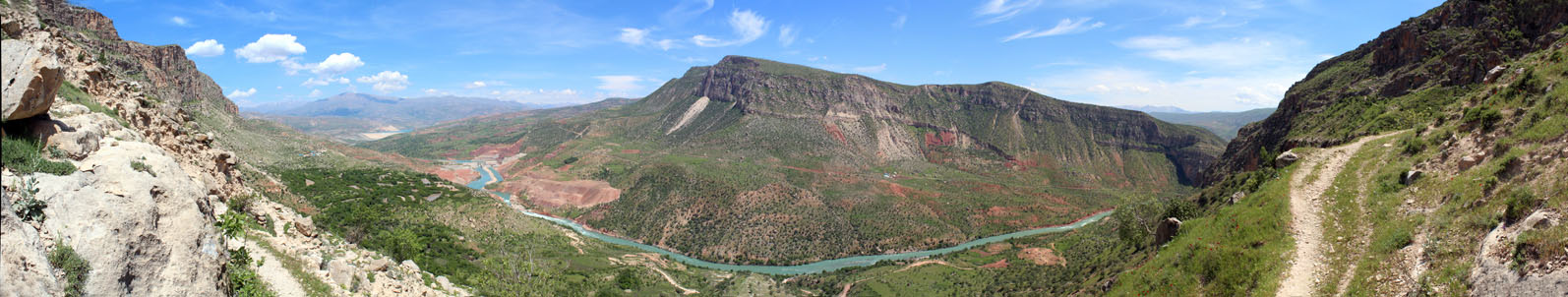
Starting from 1180 meters altitude 2 km from Taşbalta village, goes down to Kirazlı Dam along a 8.5 km long mountain road. Getting flat at the bottom of the valley, the route reaches to Erenler after 4 km. On the return route, the road climbs for 7 km after the Alkumru Dam with a 500 meters gain in altitude. The route is categorized as "Advanced" because of it is 29 km long. No water source is found on the route.
The mobile phone coverage of Turkcell, Vodaphone and Avea is regular along the road with the best coverage close to the dams.
Please click here to see the route that goes from Siirt downtown to the beginning of Taşbalta-Erenler Mountain Biking Trail.
Details of the route
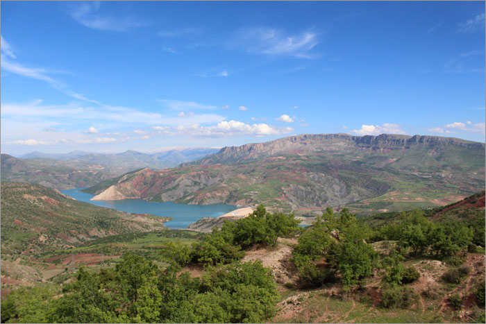
The route that starts 2 km from Taşbalta with a view above Alkumru Dam.
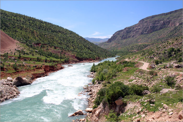
After a long descent, the road reaches to the Botan River. This part of the river has the highest flow rate.
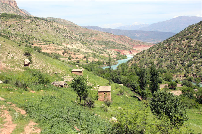
Erenler, located at the westmost end of the route is a deserted settlement.
